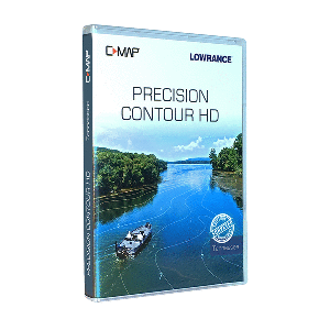
Lowrance C-MAP Precision Contour HD Chart - Tennessee
$149

C-MAP Precision Contour HD Chart - Tennessee
Precision Contour HD maps combine the best data from professional lake surveys, C-MAP Genesis Social Maps and traditional lake maps to deliver the most detailed statewide fishing maps.
Featuring highly-detailed 1-foot contours, high-resolution satellite imagery and C-MAP’s one-of-a-kind Custom Depth Shading, Precision Contour HD maps offer comprehensive coverage of areas - including shallow backwaters and distant creek arms - that other map cards overlook.
The Precision Contour HD Tennessee card includes lakes that were meticulously surveyed using innovative C-MAP Genesis technology to create the most complete maps of key fish-holding bottom structure like humps, holes, reefs, shoals, drains, ditches, ledges and break lines.
The Precision Contour HD – Tennessee chart card contains the following C-MAP-surveyed waterbodies, as well as traditional data on other lakes in Tennessee - Chickamauga, Kentucky Lake, Douglas, Fort Loudon, Tellico, Old Hickory, Watts Bar, Melton Hill, J. Percy Priest, Nickajack
Following are the Tennessee Lakes featuring high-definition, non-surveyed, 1-foot contours: Cherokee, South Holston, Normandy, Woods Reservoir, Whipporwill, Pinoak, Bards, Crawford Springs, Parker Creech Hollow, Cumberland Mountain Lake, Herb Parson, Robinson Dogwood, Woodrun Lake No. 2, Laurel Hill
Features:
- Survey-quality contour data - 1-foot contour coverage, visible even at wide,zoom levels
- Custom depth shading – choose colors for specific depth ranges to highlight fishholding depths and/or hazard zones
- Points of Interest - includes traditional navigation information, C-MAP Navigation data, plus Fishing HotSpots waypoints and lakes-specific fishing tips and techniques
- High-resolution satellite imagery – used to locate man-made fish-holding structure like boat docks
- Available views include water and land, water only and land only
- Preset depth shading palettes, including safety shading
- Includes fishing regulations, records and ID photos
- Compatible with most Lowrance®, Simrad® and B & G® chartplotters
- Free 1-year subscription to C-MAP Genesis Edge custom mapping service