Navionics Navionics+ Flexible Coverage Worldwide - MSD Format
$249

Navionics+ Flexible Coverage Worldwide - MSD Format
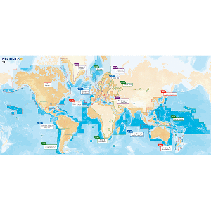
Navionics Nav+ Rest Of World MSD Card cover multi-country areas called XL9 (XG in the Americas) or other configurations known as Small. With The Navionics Nav+ Rest Of World MSD Card chip is pre-programed with the charts of the designated area. No downloading required. The multi-dimensional marine charts take the navigational experience to a whole new level with 3D view, integrated aerial imagery layer, and port photos. Enjoy perspective well beyond that available from traditional charts, while viewing harbours, marina entrances, and surrounding topography. Consult geo-referenced Coast Pilot as well as coastal points of interest conveniently while underway.
Features:
- Max detailed charts for cruising, fishing and sailing!
- Covers marine areas and a growing list of lakes!
- Nautical Chart, SonarChart™ and Community Edits
- Daily Updates for one year
No Videos